Resources summary for ArcGIS Runtime SDK for .NET
Are you staring to work with ArcGIS Runtime for .NET SDK but not sure where to start?
The good thing with ArcGIS products is that there is a lot of documentation, samples, presentations and so forth about them. But at the same time, that makes it a small challenge to getting a good picture where what is. In this post, I try to make a list of the different sources with small descriptions that might help you to get a high level view of the documentation and the resources available.
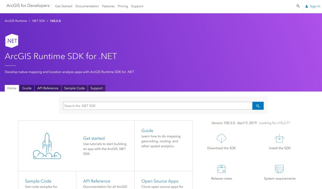
The main source for all the information is the developer site which contains most of the information to get started or learn more. From here you can find links to the downloads, repositories and much more. The developers’ site used to be a bit more fragmented but with the latest changes finding the information got much better.

API, Extensions and Toolkit
In general I would split the product into 3 different parts:
The API is the core of the runtime that contains all key parts such as map, scene, layers, tasks and so forth. See how to install the API here. Majority of the documentation and samples are about the API.
Optional components that can be used to extend or enable a specific set of functionality on top of the API. Currently, the only component is LocalServer. Learn more about the Local Server here.
The toolkit is an Open Source library which provides UI controls that are generally used in the applications such as Compass, FeatureDataField or Legend. You can find the source for the toolkit here and the samples on how to use the toolkit here. If you want to implement your own UI components, this is a good place to find patterns for that.
Documentation
I’m listing here only documentation that is directly related to the .NET documentation.
API reference provides documentation of individual classes, properties and methods. The documentation contains links to the samples that show how the classes can be used.
Guide documentation provides guidance on how to use the API split to functional topics such as “display a map” or “add a layer to a map”. This is the main source of the documentation.
Tutorials provides step by step tutorials to familiarize yourself how to implements such as “search for address” using the API. All the tutorials are designed to be done in 10-15 minutes. These used to be called “developer labs” or “dev labs”.
Tip: If you need to have access to the API reference or guide in an offline environment, you can download them here.
Samples and demos

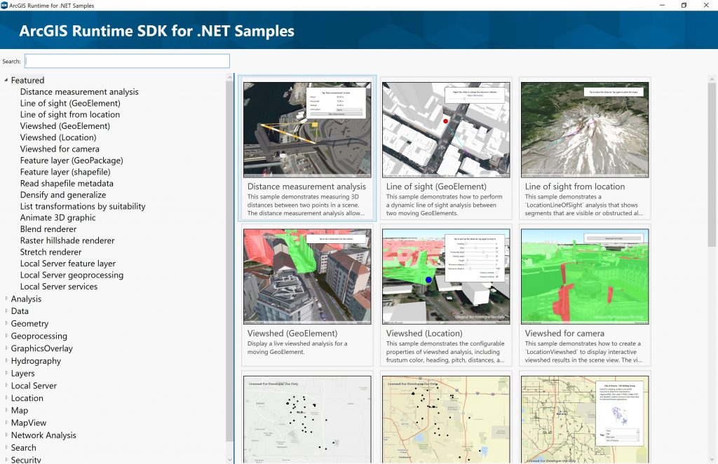
Samples are small units of code that shows how to use a specific part of the API. You can download Samples Viewer for WPF executable here. This application illustrates the functionality of the runtime and also contains the source for the samples (XAML / C#). You can find the source code from GitHub or view sample snippets in the developer site. From the samples repository, you find the samples in WPF, UWP and Xamarin. Going through samples is a fantastic way to get a basic idea of the functionality and how API is intended to be used. Note that the API can do much more than what you can see from the samples.
Demos are larger applications on how to implement larger features or workflows using the API and Toolkit. Some of the demos might have been built to be used in presentations or to demonstrate how to integrate ArcGIS Runtime with other technologies such as using external GPS devices. These demos aren’t designed to be production ready per se but instructional.
Example apps

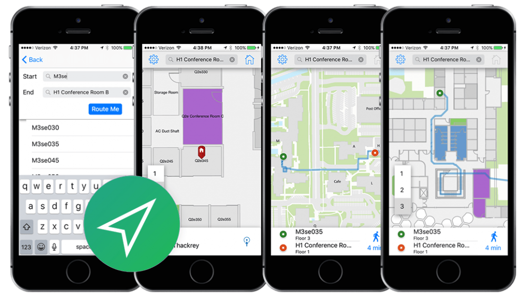
Example apps are relatively new initiative in Esri to provide example applications that demonstrates how to use the ArcGIS Platform and ArcGIS Runtime on larger applications. All of these applications are Open Source and are designed to promote best practices. You can use these applications as a base of your own implementations, extend them for your needs, use them as a proof of concepts or study them to learn more.
Available example apps on .NET platform
Remember that all the example apps that are built on top of the Runtime and which contains the same functionality across the SDKs. Even if .NET doesn’t have an example for situational awareness, the same functionality is available in it.
Presentations
There are tons of presentations done every year about the runtime but usually, only the ones held in the Developer Summit are recorded. Lately, Esri has been releasing these presentations on YouTube under Esri Events account. Here are couple of notable ones from 2019
- ArcGIS Runtime SDK for .NET: Building Windows Apps
- ArcGIS Runtime SDK for .NET: Building Xamarin Apps
- ArcGIS Runtime: An Introduction to the API and Architecture
- ArcGIS Runtime: Migrating from ArcGIS Engine
Tip: See my posts about my presentations editing your data and working with maps online and offline.
Tip: There is also awebinar series where you see runtime being covered. For example, here is “Building Native Apps with ArcGIS Runtime“.
Books
Ron Vincent wrote a book called “Learning ArcGIS Runtime SDK for .NET” and you can find it from Amazon.
Where to turn with questions?
The best place to turn with your questions is GeoNet community that has a separate area for .NET. Alternatively, you can turn tohttps://gis.stackexchange.com.
You can also turn to Esri’s official support channels through your distributors.